author’s corner q&A with Eric W. Sanderson
by UrbanSense
Welcome to Author’s Corner, a series by UrbanSense where we sit down with writers who are shaping conversation around cities, innovation, and the cultural currents of our time. From urban planners turned novelists to tech visionaries and culture entrepreneurs exploring the future of human connection, we'll learn from authors whose work captures the pulse of how we live, work, and plan the modern world. These are the voices helping us understand where we've been and where we're heading. Join us as we explore the stories behind the stories.
UrbanSense welcomes a diversity of viewpoints. Author’s views are their own and do not necessarily reflect any UrbanSense position.
About the author
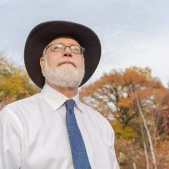
Eric W. Sanderson is the inaugural Vice President for Urban Conservation Strategy at the New York Botanical Garden, an ecologist and author who works on ecologically functional and climate-resilient designs for New York. From 1998 to 2023 he was a Senior Conservation Ecologist at the Wildlife Conservation Society, where he directed the Mannahatta Project, a decade-long reconstruction of the historical streams, ponds, springs, shores, hills, forests, and wildlife of Manhattan. He is the author of Mannahatta: A Natural History of New York City and Terra Nova: The New World After Oil, Cars, and Suburbs, and, most recently, Before New York: The Natural Geography of the City.
Every New York City block sits on top of something older: a stream, a hill, a salt marsh, an oyster reef. For more than 25 years, landscape ecologist Eric W. Sanderson has been mapping what was here before, first in his bestselling Mannahatta: A Natural History of New York City (Abrams, 2009), and now across all five boroughs through the Welikia Project.
Eric is Vice President for Urban Conservation at the New York Botanical Garden. His new book, Before New York: The Natural Geography of the City: An Atlas and Gazetteer (Abrams), reconstructs the landscape of the region as it was in 1609, just before Henry Hudson's arrival, and is scheduled for publication on November 10, 2026.
In 2025, UrbanSense worked with Eric, the New York City Bird Alliance and Google to create a first-of-a-kind Biodiversity District on the Lower West Side of Manhattan to organize real estate, parks and public space owners, operators and tenants to coordinate their sustainability and biodiversity strategies to support increased biodiversity outcomes and historic wildlife corridors on the West Side.
For this edition of Author's Corner, we spoke with Eric about his unlikely path into landscape ecology, why the outer boroughs may matter even more than Manhattan, the role of design and technology in telling the story of a landscape, and what historical ecology can teach a city facing climate change. Responses have been lightly edited for length and clarity.
Q: Can you tell us about your background and what sparked your interest in landscape ecology?
It's a long story. As an undergraduate I thought I wanted to teach high school, but I could never decide what I wanted to teach, so I ended up doing a double major in biochemistry and English literature. When I got out of college, it was much easier to get a job as a chemist than as a writer, so I worked as a chemist for a few years.
Eventually I moved back to Davis, California where I'd studied as an undergraduate, and I would go to the library every day and pull books off the shelves, trying to decide what to do with my life. Did I want to be a writer? An English professor? A scientist? I knew I didn't want to be a chemist. I'd read a few pages, and if it was interesting, I'd follow what it was citing. If it was boring, I'd put it back and go in a different direction. Eventually I worked my way into geography literature and thought, okay, that's what I'll do.
I applied to graduate school in geography at Davis, which at the time was facing a rift between the cultural geographers and the physical geographers. Simultaneously I had a part-time job running chemistry samples for a project at Lake Tahoe. One day the postdoc who supervised me asked me what I wanted to do and suggested landscape ecology. He sent me to see Susan Ustin, the landscape ecologist at Davis. Fortuitously, she needed a chemist to run a bunch of samples, so we made a deal: she helped move my application over to ecology, and she hired me to run her samples. That's how I became a landscape ecologist.
Q: How did that path bring you to New York?
In the late '90s, landscape ecology was a growing field. Universities all decided they wanted landscape ecologists, and when I was applying for jobs in 1998, there were maybe five or six university positions and a handful of us following each other around to interviews. In the middle of all that, I saw a job at the Bronx Zoo with the Wildlife Conservation Society (WCS). They wanted a GIS program manager, and I pitched them that what they really needed was a landscape ecologist. I was impressed with their conservation work, and much to my surprise, they offered me a job.
So right out of graduate school, I started a new program in landscape ecology and geographic analysis at WCS. It was a great job in New York, but it wasn't about New York at all. It supported field programs for tiger and elephant conservation in places like Gabon, Mongolia, and Cambodia. WCS told me I could have six or eight weeks a year to pursue a conservation project of my own. I'm sure they thought I'd pick something far away, like Latin America. Instead, I pursued a project closer to home: the historical ecology of New York. Over time, this became a bigger and bigger part of my portfolio.
I think almost everybody's path is like this: some combination of what you want to do, what you're interested in, the opportunities that present themselves, and whether you're open and receptive to them. When I told my friends in Northern California I was moving to New York City, half of them said, "Are you insane?" The other half said, "I guess I can see that."
Q: You are the author of the seminal work, Mannahatta. What prompted you to expand beyond Manhattan to all five boroughs with the Welikia Project?
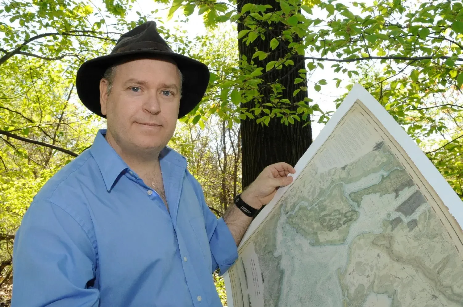
It started with a book. One day I was in the Strand and I found Manhattan in Maps, written by two map dealers. It had a reproduction of the British Headquarters Map showing the topography of all of Manhattan Island, and I thought: if I can georeference this to the modern city, I can figure out where the streams and hills and beaches were. What a fascinating way to think about what Manhattan was like, and, for me personally, to connect to it.
That idea led to the Mannahatta Project. I became aware of historical maps as a resource about landscapes, and of the early colonial descriptions of New York, which are kind of unbelievable in how abundant and wonderful they describe it. I also came to recognize that a lot of that history isn't well known. New York is about the big city and its future; it doesn't pay much attention to its past. And when it does, it's mostly the colonial past: what the Dutch did, what the English did, the American Revolution, the 19th century. All fascinating, but where's the ecology underneath all of this?
Mannahatta turned out to be a much bigger deal than I ever thought it would be. In 2009, the year the book came out, we had an exhibition at the Museum of the City of New York, I did a TED Talk, and it was just nonstop. I put my wildlife work on hold for about a year and a half, and WCS was generous enough to give me that time.
Toward the end of it, people kept asking: What about the Bronx? Don't you live in the Bronx? What about Brooklyn? Staten Island is so cool! So I started pulling together information, with small grants on the side, and it captured my imagination again. Most New Yorkers don't live in Manhattan, and most of the opportunities to improve nature and ecosystem function in the city are in the outer boroughs. Manhattan has great metaphoric value for telling the story, but in practical terms, the stories of Brooklyn, Queens, the Bronx, and Staten Island are arguably even more important.
My ideas about conservation were changing, too. I joined the board of the Nature Conservancy, which does a lot of local conservation work. I still think wild-place and big-wildlife conservation like WCS does is super important, but to change the world, you need to work where the people are, because it's people who are causing the problems for the elephants and the tigers. And that’s what connects this work to cities. If you're going to do something about cities, New York is arguably the most important place to do it. It's a center of decision-making, finance, communication, and media, and it exemplifies what it means for a city to be divorced from nature: a city that's about its future, but not its past.
Related Content: UrbanSense Case study spotlight
Reducing Fare Evasion in the NYC Subway
UrbanSense partnered with the NYC Mayor’s Office of Criminal Justice to understand the underlying issues leading to rising subway fare evasion.
Q: How did you approach telling the story of five boroughs, rather than one island?
At a certain point, the material was getting too big to hold in my head, so I applied for a fellowship at the New York Public Library to spend about nine months thinking about how it would cohere into a book. Mannahatta was really my story: Eric comes to the city, sees this cool map, works on the geography, then the biology, and puts it all together. I realized I couldn't tell that same story for the other boroughs. Eric goes to Brooklyn, Eric goes to Queens, Eric goes to Staten Island; that was not the right structure. Moreover, all of these places have their own stories, and I wanted to put the landscape first.
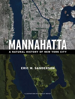
Q: Both Mannahatta and the Welikia website are incredibly visual. You can type in an address and see what your block looked like before colonization. How did you bring that to life?
Part of it is that the materials I was using are so visual. Maps have always been very important to me, and so has imagery. And I've been very lucky to work with talented people who are interested in how you take data and make pictures of it. There were tools we could adapt our data for, and in some cases, we had to adapt the tools. Initially Markley Boyer, the illustrator for Mannahatta, put a lot of time into figuring out how to do this, and other talented designers have helped since.
They helped me appreciate the value of design in telling stories. I'm interested in the concepts, the ideas, and the stories, but to convey them, it helps so much to have beautiful designs.
Q: What prompted the decision to take the project digital?
I have a wonderful colleague and friend Kim Fisher, whom I hired as a research assistant for geospatial analysis. He had a background in web development and kept saying, "Eric, I think there's a way to build websites that use this data and help people see what it means." So we started working on that. An earlier version did this just for Manhattan: on the Mannahatta Project website, you could pick a block and get a list of all the plants and animals that were there.
When I moved to the New York Botanical Garden a few years ago, in the midst of writing this book, we knew we wanted to expand to the rest of the city, and the technology just kept improving. At the Garden, we hired Annie Fu, who has a background in data journalism, building the kind of interactives you see in newspapers, and she's created the designs you see on Welikia.org today.
We also have a new site, Layers of the Past, where you can see a selection of the historical maps we've georeferenced. You can put in your address, get a list of all the relevant historical maps in chronological order, and flip through them to see how the place changes through time, and also how its representation changes. No single map says everything about a place; every map is a selection. So it's fascinating to see how people have seen the landscape over time. Layers of the Past lets anyone do basically what we do as researchers: look at all the maps and think about what they mean for that place.
Q: You've said the goal isn't to go back to the past, but to go forward. How do you see historical ecology informing climate adaptation in New York City over the next 20 years?
There's no getting away from nature. So many things that are wonderful about New York have to do with its natural history first. The only way to create a lasting, wonderful city is to bring back more of its nature, and to do that with the same energy, ambition, and intensity that New Yorkers bring to every other aspect of their lives.
We have such low expectations around the environment, as if there's an inevitable tradeoff: a great city must have a terrible environment. I just don't think that's the case. I think that's a lack of ambition.
What I'm hoping is that historical ecology inspires us to imagine a city that works with the nature of the place, that it gives us examples of nature's solutions to the problems we're facing, and that we can reclaim a much more balanced and harmonious relationship with nature. That's an ambition that, fulfilled here in New York City, can ramify to every city on the planet, and to how we create a future where nature and humanity coexist and do right by each other.
Q: Tell us about the scope of Before New York. What do you want it to be for readers?
It's a huge piece of work, and it's meant to last for 100 years or more. It's meant to be the definitive source of information about the natural geography of the place, so nobody ever forgets that we have streams and hills and oyster reefs and amazing forests and broad wetlands. Our historical environment should become part of the story we tell ourselves about the landscape we live in.
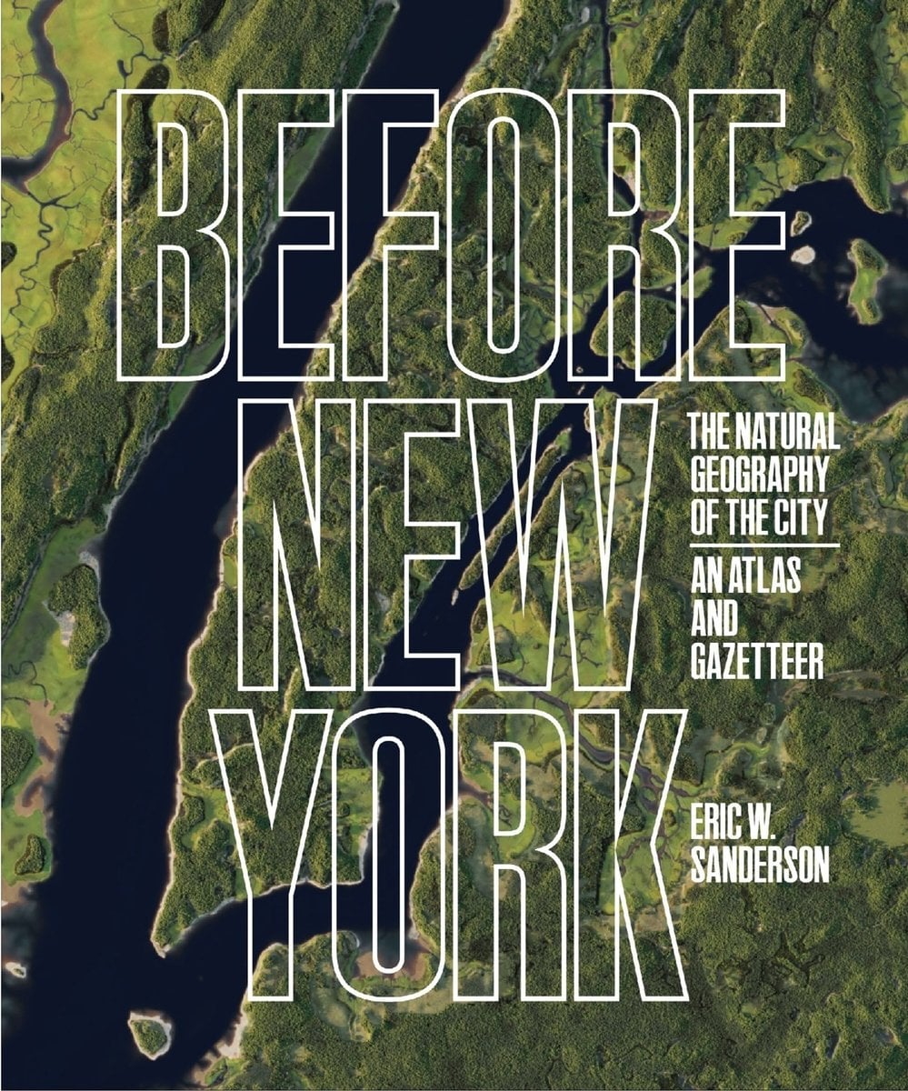
Before New York | The Natural Geography of the City: An Atlas and Gazetteer
Buy on Bookshop.orgSupport Local Bookstores
discover more of Our Services

User, Policy & Market Research
In-depth user research, workshops, and surveys to co-create meaningful, user-driven solutions.

Digital master planning
Tactical plans for digital investments in public spaces, from infrastructure to user applications.

Economic Development
Delivering comprehensive economic development solutions that bridge technology, policy, and community needs.